0 Comments
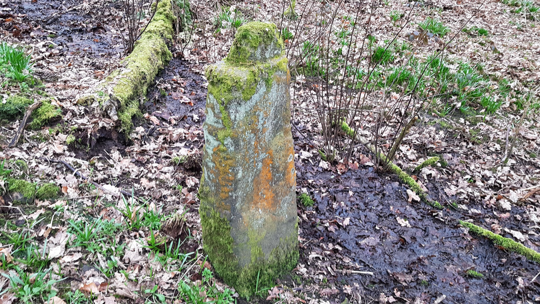
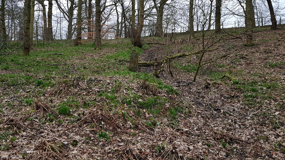
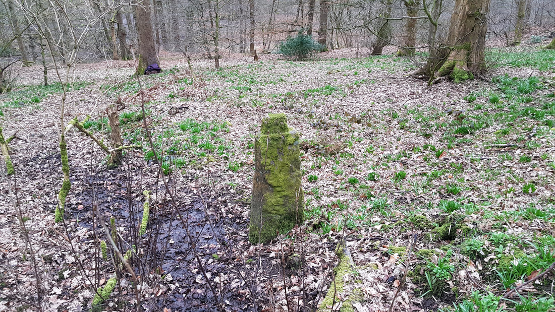
Just started to process the results from my recent walk up Coal Pit Road, and then along Deans Ditch on Winter Hill, looking for the boundary stones marked on the 1844 OS map. The image below shows the first image of the boundary stone near the summit of Counting Hill. There are markings on it. I will now produce a 3D model from the images and videos taken to see if we can get a clear picture and if there are any more markings. Full article coming soon. 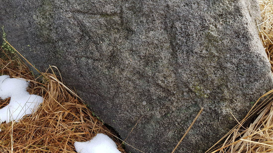 |
AuthorI have lived in Chorley and Adlington for the past 10 years, and over that time collected and researched local history. This site will share some of the fascinating locations and their background.
Categories |
 RSS Feed
