Jepson's Gate Cairn
This small oval cairn was excavated by Cumbria and Lancashire Archaeological Unit in 1983.
I had a look for this cairn 10 years ago in the days before phones had gps and couldn't find it. Have to have another go. As it has been excavated, I am not sure if an aerial survey will add any further information. The cairn is off Moor Rd on Anglezarke, close to Manor House.
The cairn, which measured approximately 5.3m by 3.8m across and stood 0.4m high, was found on excavation to be of kerbed construction and to overlie a small, central pit. Although no evidence for a cremation deposit or funerary vessel was identified, the construction method could suggest the cairn fulfilled a funerary purpose, particularly since the amount of surface stone in the vicinity suggests it is not the result of field clearance.
No artefactual dating evidence was recovered, but palynology suggests a possible date in the late Bronze Age.
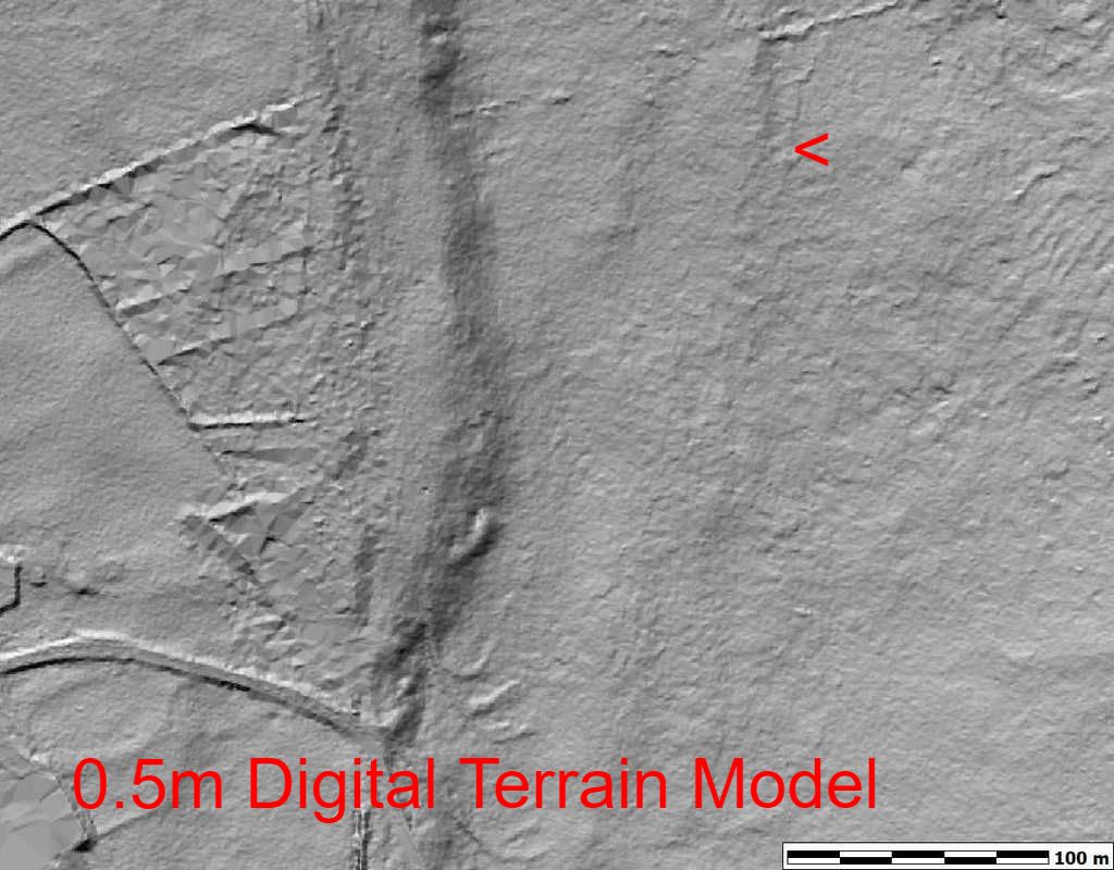
Even knowing the exact location, this cairn is difficult to spot on Google Earth and only just visible on the Digital Elevation model below.
This small oval cairn was excavated by Cumbria and Lancashire Archaeological Unit in 1983.
I had a look for this cairn 10 years ago in the days before phones had gps and couldn't find it. Have to have another go. As it has been excavated, I am not sure if an aerial survey will add any further information. The cairn is off Moor Rd on Anglezarke, close to Manor House.
The cairn, which measured approximately 5.3m by 3.8m across and stood 0.4m high, was found on excavation to be of kerbed construction and to overlie a small, central pit. Although no evidence for a cremation deposit or funerary vessel was identified, the construction method could suggest the cairn fulfilled a funerary purpose, particularly since the amount of surface stone in the vicinity suggests it is not the result of field clearance.
No artefactual dating evidence was recovered, but palynology suggests a possible date in the late Bronze Age.
Even knowing the exact location, this cairn is difficult to spot on Google Earth and only just visible on the Digital Elevation model below.

|
|
