Google Earth 3D mapping for Chorley
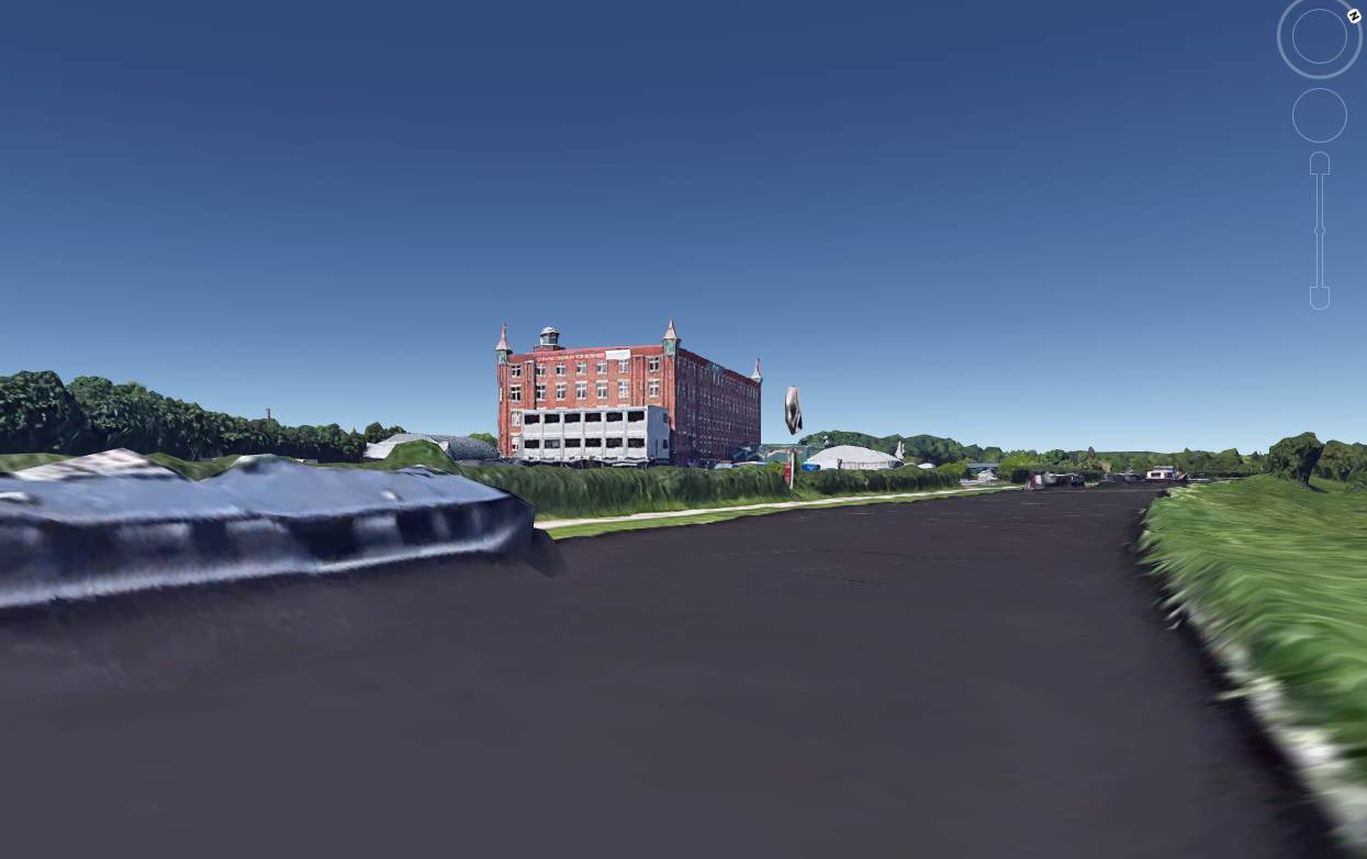
Botany Bay from a viewpoint in the canal.
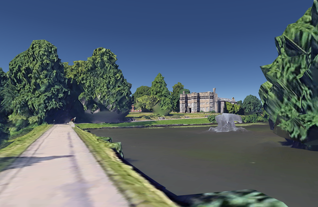
3D view of Astley Hall and fountain
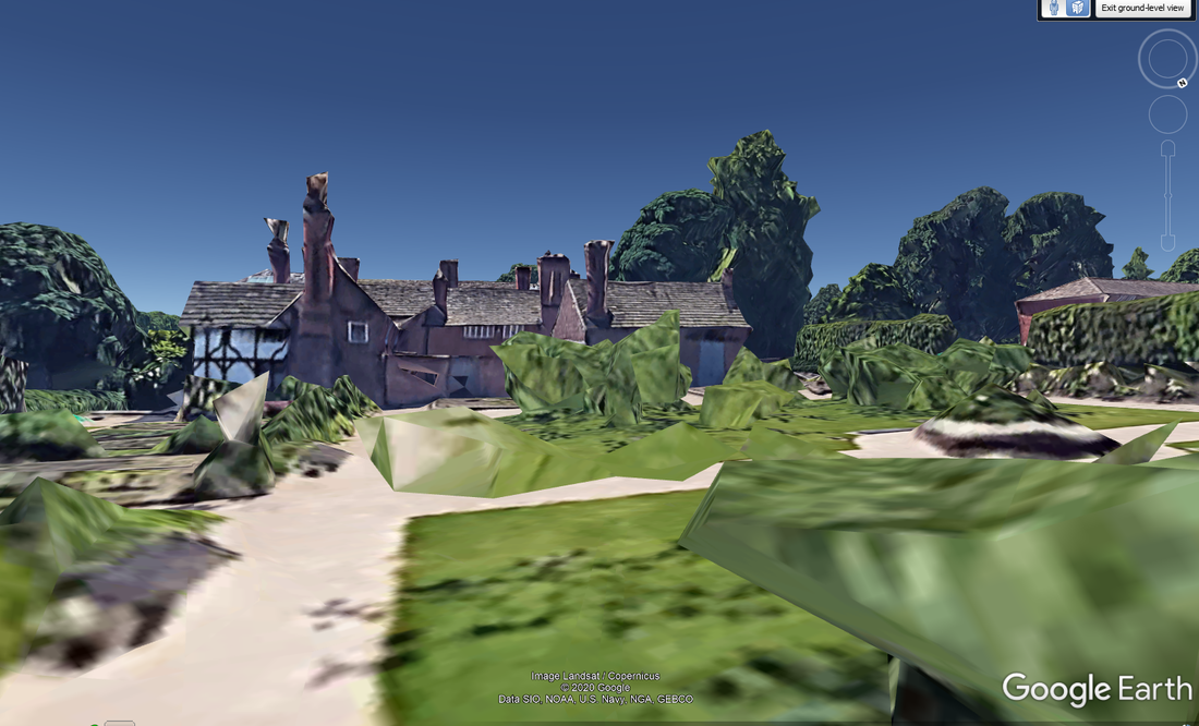
3D view of Astley Hall from inside the Walled Garden area
|
I have not been on Google Earth for a while, but when I overlaid an old OS map over Weld Bank, Chorley, I noticed that every building and tree was displayed as a 3D model.
This is called Terrain View and is like Street View with a couple of main differences. The quality of the images is quite low, in fact buildings look as if they have slightly melted. However, whereas on Street View you are restricted to the road network to view, on Terrian View you can wander off the road and out into the countryside. To access Terrain View on Google Earth, zoom in anywhere away from a road in the Chorley area until you drop to the ground. You then use your arrow keys on your keyboard to move around. Google have been adding 3D models of individual buildings since 2012, but this is something much more powerful. In the USA 3D mapping of entire cities are common, and now we are getting the same level of detail in the UK. There looks to be about 30 towns and cities now in 3D format in the UK. Google are using photogrammetry to produce a 3D digital elevation model of the area and draping the images over the surface of the model to bring them to life. As well as a vertical view, they also have cameras mounted at 45 degrees to view the sides of buildings. This is the same technique that I use with my drone and phone images to produce the 3D models on this site. But the scale here is massive. Eventually the whole of the world will be displayed in this manner on Google Earth. I am currently looking at the Chorley boundary in the 1700's and had planned lots of walks, but now I can explore the route at ground level from home. However, this does raise some privacy concerns. I can move into our back garden and wander around and even see the washing on the line, or in fact, in anyone's garden. |
The 3D area currently covers Chorley, Leyland and Preston, so this is a great feature for exploring our local area, especially in these times of lockdown.
